Detailed Map
・This map is a guide to mountain hiking trails in the Isehara City area.These trails are maintained for hikers. Be careful to avoid mistakenly following other mountain routes, logging roads, animal trails, etc.
・Mountains trails may change significantly due to heavy rain and other weather phenomenon. For your safety (regarding landslides, road closures, etc.), check on current conditions with local government offices, etc. before proceeding up the mountain.
・Course times may vary per hiker and are provided for reference only. Naming and other information on on-site signs and guide-posts may differ from the information contained in this pamphlet.
・Mountain climbing is a physical sport, and carried out at your own risk. Please make sure you are fully prepared and in good health, and enjoy your hike with no injuries or accidents.
Oyama Power Spots
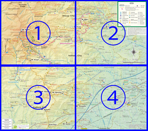
Forest Therapy Walk
MAP B-2
There is a primeval fir tree forest, considered one of Kanagawa Prefecture’s protected natural monuments, located along the mountain trail from the Niju Falls area to the Lookout.
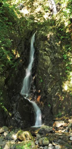
Roben Falls
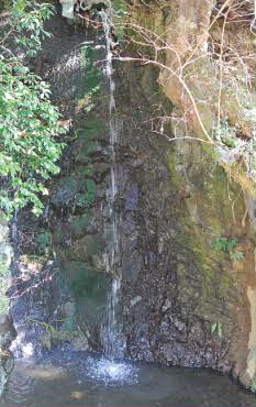
MAP B-3
It is said that when Roben Sojo founded Oyama-dera Temple in 755, this waterfall was the first that he bathed under.
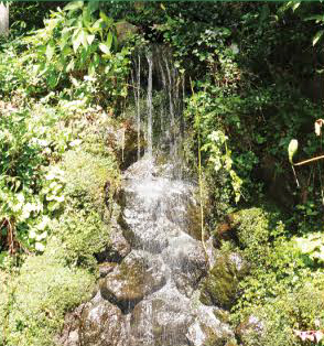
Atago Falls
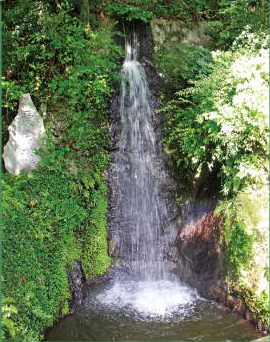
MAP B-3
Along with Roben Falls, this fountain is said to have been used by pilgrims to Mt. Oyama for their ablutions.
Misogi Grand Falls
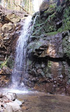
MAP B-3
This waterfall cuts through surrounding rocks, and has appeared in many ukiyo-e prints.
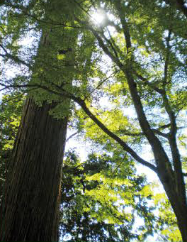
Niju Falls
MAP A-2
Also known as the rain doctor’ s waterfall, it is said that a dragon god appeared here a long time ago.
Moto Falls
MAP B-3
This waterfall is also known as Fudotaki, because a stone statue of Fudo Myo-o is located above it.
Turtle-Rock (Kameishi)
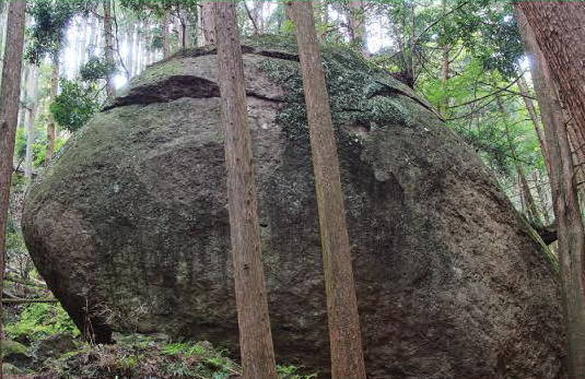
MAP C-1
Located among thick forest along Yakushi Rindo, this enigmatic monolith is about 4 m high and 10 m across. The origin of the stone’ name is uncertain,but there are several local theories. One theory claims that because the area is known as Kameishi (turtle rock). as the largest stone in the vicinity it was named after the place. Another theory states that the name was chosen because the stone resembles a turtle. (kameishi literally means ‘turtle rock. in Japanese.)
Ogama Benzaiten
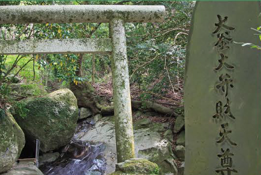
MAP C-1
Benzaiten is located upstream along Osawa River. The name is believed to come from the flowing basin located in front of the hermitage, which is shaped like a large pot, or kettle. Belief held that snakes were the servants of the goddess Benzaiten. As local supplicants to Ogama Benzaiten spread, a stone monument of a figure with a person’ s head and snake’ s body was placed here to reflect this belief.